
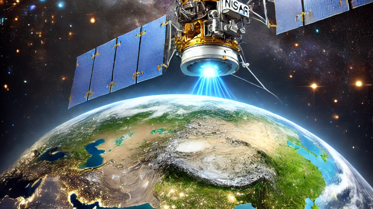
The NASA-ISRO Synthetic Aperture Radar (NISAR) project is one of the most ambitious Earth
observation missions ever undertaken, combining cutting-edge technology from two of the
world’s leading space agencies. This joint effort between NASA (National Aeronautics and
Space Administration) and ISRO (Indian Space Research Organisation) is designed to study
and monitor Earth’s surface and climate. This blog explores the details, significance, and
potential impact of the NISAR project on global scientific research and environmental
sustainability.
1. What is the NISAR Project?
NISAR is a collaborative satellite mission between NASA and ISRO aimed at using Synthetic
Aperture Radar (SAR) to map Earth’s surface in unprecedented detail.
● Objective: To provide critical data on Earth’s ecosystems, ice sheets, agriculture,
forests, and natural hazards like earthquakes and volcanic eruptions.
● Technology: NISAR will be equipped with two types of radar systems—L-band and
S-band—enabling it to capture high-resolution data across different frequencies.
● Launch Date: The mission is set to launch in 2024, aboard a SpaceX Falcon Heavy
rocket.
2. Key Components of the NISAR Satellite
The NISAR satellite is a state-of-the-art spacecraft with features that distinguish it from previous
Earth observation missions.
● Synthetic Aperture Radar (SAR): NISAR’s radar technology allows for high-resolution
imaging, even in poor weather conditions and during the night.
● Dual-Frequency Radar: The combination of L-band and S-band radar frequencies
provides a comprehensive understanding of Earth’s surface dynamics.
● Advanced Antenna System: The satellite will feature a large, deployable antenna to
capture data with precision.
3. Objectives and Goals of the NISAR Mission
NISAR’s mission aims to enhance our understanding of various Earth processes and
environmental changes, with a focus on:
● Monitoring Climate Change: The satellite will provide valuable data to study global
warming, melting glaciers, and changing sea levels.
● Natural Hazards: NISAR will be used to detect and monitor natural events such as
earthquakes, tsunamis, volcanic eruptions, and landslides.
● Agricultural Monitoring: By analyzing vegetation health, NISAR will help improve
agricultural practices and food security.
● Forest and Land Use Changes: The satellite will track deforestation, land degradation,
and the impacts of urbanization.
4. The Importance of the NASA-ISRO Collaboration
The collaboration between NASA and ISRO represents a unique partnership that blends the
technological prowess and space exploration experience of the United States with the
innovation and cost-effective solutions of India.
● Technology Exchange: ISRO brings its expertise in low-cost satellite development,
while NASA provides advanced space mission planning and management.
● Joint Research: The data collected by NISAR will be shared between the two agencies
for global research and analysis.
● Global Impact: This mission will not only benefit India and the US but also contribute to
the global scientific community by providing data for environmental monitoring.
5. NISAR’s Role in Climate Change Research
Climate change is one of the most pressing issues facing the planet, and NISAR is set to play a
vital role in understanding its effects.
● Global Temperature Trends: NISAR’s radar can map surface deformations and track
temperature changes across the Earth’s surface.
● Melting Polar Ice Caps: The satellite will monitor the retreat of glaciers and the loss of
ice in the Arctic and Antarctic.
● Tracking Deforestation: NISAR will help researchers understand how forest loss affects
global carbon cycles.
● Carbon Emissions: The satellite will also help in monitoring CO2 emissions through its
vegetation and soil observations.
6. NISAR’s Contribution to Disaster Management
The data from NISAR will revolutionize how we prepare for, respond to, and recover from
natural disasters.
● Earthquake Prediction and Monitoring: NISAR will help track seismic activities and
study the movements of tectonic plates, which could improve earthquake prediction
methods.
● Volcanic Eruption Monitoring: The satellite will identify early signs of volcanic
eruptions by detecting ground deformation.
● Tsunami and Landslide Early Warning Systems: The real-time data from NISAR will
improve disaster response by providing early warnings.
● Flooding and Droughts: By analyzing soil moisture and rainfall patterns, NISAR can
assist in drought prediction and flood management.
7. Applications of NISAR in Agriculture
Agriculture plays a central role in both economic development and food security, and NISAR’s
data will be a valuable asset for monitoring crop health and land productivity.
● Crop Health Monitoring: NISAR can assess vegetation health, providing crucial data
for farmers to make informed decisions.
● Precision Agriculture: By studying soil moisture and vegetation density, farmers can
optimize water use and improve crop yield.
● Drought and Flood Impact: The satellite will monitor areas affected by droughts or
floods and assess their impact on agricultural productivity.
8. The Future of Earth Observation with NISAR
The NISAR mission represents a leap forward in the field of Earth observation, and its success
will pave the way for future advancements.
● Next-Generation Space Missions: The data from NISAR will help design and develop
the next generation of Earth observation satellites.
● Collaborative Efforts: NISAR’s success will likely encourage further collaborations
between space agencies worldwide.
● Advancements in Earth Science: The mission will contribute to the development of
predictive models for climate change, natural hazards, and environmental management.
9. NISAR’s Impact on Global Scientific Research
The NISAR mission will not only benefit the United States and India but will also have a lasting
impact on global scientific communities.
● Global Data Access: The satellite’s data will be available to researchers worldwide,
providing insights into Earth’s changing environment.
● Collaboration with Universities and Research Institutes: The data will be used by
academic institutions for climate research, disaster studies, and ecosystem monitoring.
● Global Climate Action: NISAR’s data can support international climate change
agreements and sustainability initiatives.
Conclusion
The NISAR project is a testament to the power of international collaboration in addressing
global challenges. By providing high-resolution, real-time data on Earth’s surface and climate,
NISAR will play a crucial role in monitoring climate change, managing natural disasters, and
ensuring food security. As the mission progresses, its contributions to scientific research and
environmental sustainability will continue to shape our understanding of the planet’s dynamic
systems.
Thanks I have just been looking for information about this subject for a long time and yours is the best Ive discovered till now However what in regards to the bottom line Are you certain in regards to the supply
obviously like your website but you need to test the spelling on quite a few of your posts Several of them are rife with spelling problems and I to find it very troublesome to inform the reality on the other hand Ill certainly come back again
Your blog is a testament to your dedication to your craft. Your commitment to excellence is evident in every aspect of your writing. Thank you for being such a positive influence in the online community.
Great article, thank you for sharing these insights! I’ve tested many methods for building backlinks, and what really worked for me was using AI-powered automation. With us, we can scale link building in a safe and efficient way. It’s amazing to see how much time this saves compared to manual outreach. https://seoexpertebamberg.de/
Usually I do not read article on blogs however I would like to say that this writeup very compelled me to take a look at and do it Your writing style has been amazed me Thank you very nice article
Your writing has a way of resonating with me on a deep level. I appreciate the honesty and authenticity you bring to every post. Thank you for sharing your journey with us.